The story
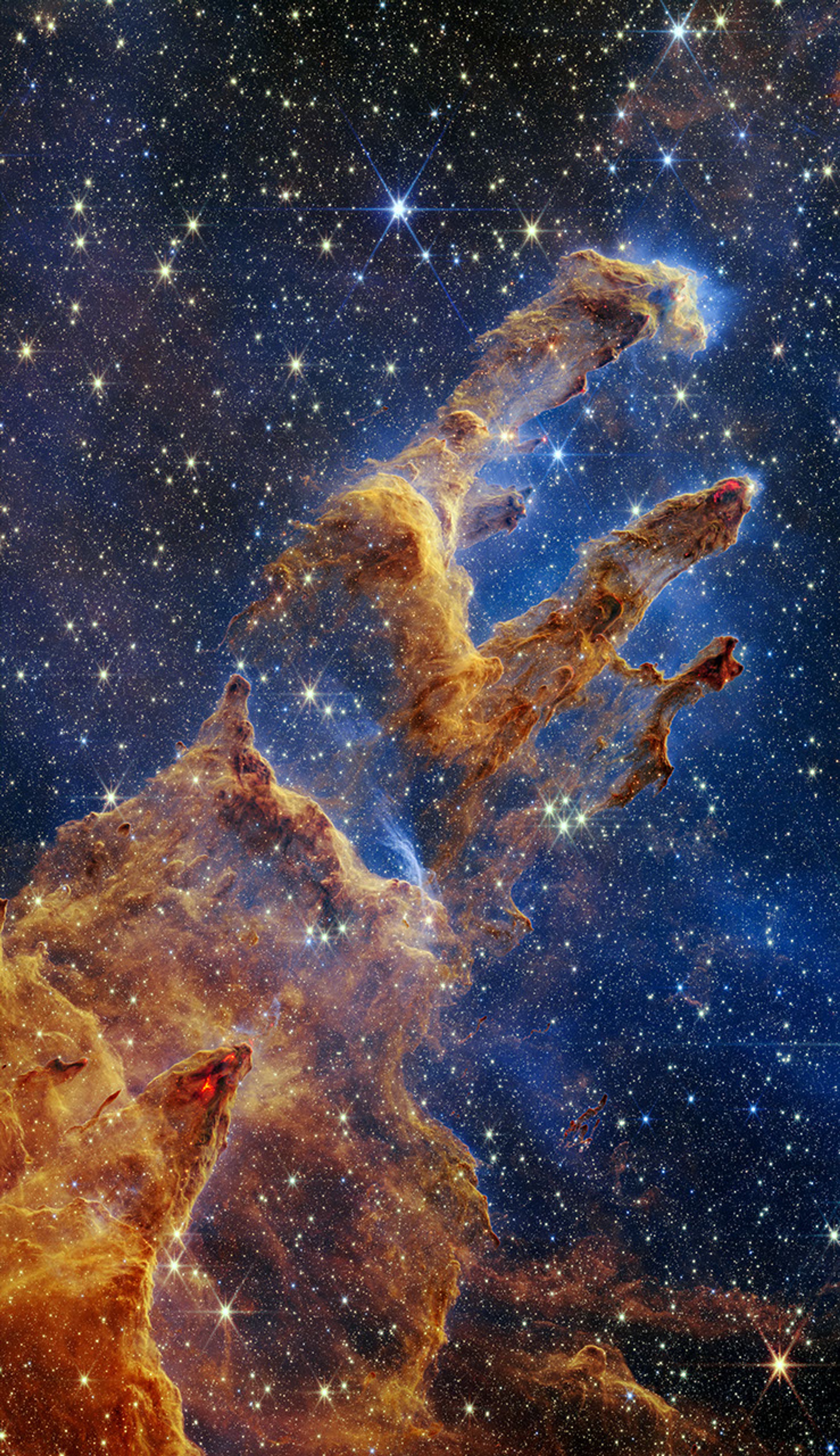
Webb gathers infrared light that our eyes cannot see. Filters separate different ranges of that light, and detectors record how much arrives. Each exposure becomes a grayscale image: a set of measurements, not a ready-made color photograph.
On Earth, image specialists assign visible colors to those filtered views and combine them. Different layers can reveal different features. The colorful result helps us explore information that would otherwise stay invisible.
Think of the colors as a key to a map. They help explain measurements rather than copy what a traveler would see out of a spaceship window. When you meet a surprising space image, ask what its colors stand for. That question is part of learning to read the technology.